Thursday, April 28, 2011
Mt Taranaki
Mt Taranaki
Day One 5 hours 30 walking: After following Pembroke Road, one of the main access routes for Mt Taranaki we parked at The Mountain House about 850m. The first section of the Around the Mountain circuit was a bit of a killer as it involved a steep 45 minute grind up to The Plateau (the carpark for the local ski field) via the road. The first section of trail took us through the ski field and on a steady climb on some technical terrain to Tahurangi Lodge and our highest point of 1400m. Sadly the conditions deteriorated and our visibility was down to around 100m. Past the lodge and the track became a little easier. The final descent of the day into Holy Hut gave tremendous views over the Ahukawakawa Swamp.
Day two, 7 hours walking: The second day barely dawned; a thick layer of cloud had enveloped the mountain. That with the horrendous weather report forced us to take on the Pouakai Circuit instead of completing the AMC. From the Hut and across the Ahukawakawa Swamp the views from the previous day were a distant memory. On the other side of the swamp the track rose sharply through a series of stairs, something that would become the theme of the day. After around an hour and a half we reached Pouakai Hut and some foul weather. We then went through what would probably have been some great alpine surroundings and climbed up over 2200 pieces of wood to Henrys Peak at 1300m. The remainder of the day was spent descending through tree roots and across un-bridged streams to Mt Taranaki’s main information centre at 890 metres. Our last hour and a bit was spent walking up the aptly named Puffer track to the warmth of Maketawa Hut.
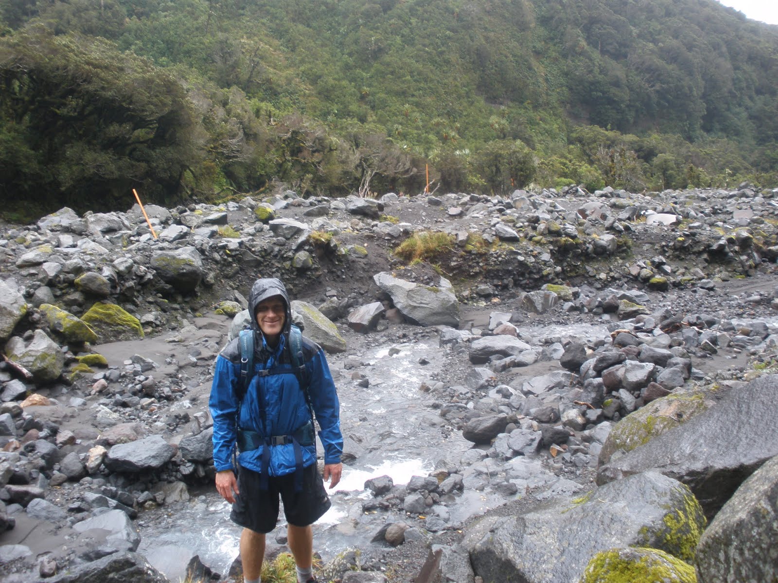
Day three, 2 hours 15 walking: More bad weather greeted us in the morning, vindicating our decision to cut the weekend short. The final walk back to the Mountain House was short but contained more steep climbs in and out of numerous dry riverbeds.
Kepler Track
Kepler Track
Day One: A nice easy start from the DOC office in Te Anau along the banks of Lake Te Anau to the official start of the track at a set of control gates on the Waiau River. This section passed through a wildlife sanctuary home to the rare Takahe and other native birds found on the track. Past the control gates the track hugged the banks of Lake Te Anau through to Brod Bay. From here we rose quickly for a good solid two hours through some great Beech Forest and past a series of limestone cliffs. After emerging from the treeline it was a further 45 minutes through to Mt Luxmore Hut. The views of the Southern Fiord of Lake Te Anau, back to the town and over to Lake Manapouri were stunning.
Day two: We woke to a crystal clear morning looking out over some low hanging cloud that blanketed the Southern Fiord below. Another good solid climb of about 400 metres in altitude gain and we reached the summit of Mt Luxmore and the highest point of the track 1472m. Below the Southern Fiord kept opening up and the track back to the Hut and beyond across a never ending ridge was clearly visible. Stunning weather followed us over the Alpine section of the track with views deep into Southern Fiordland. After completing the alpine section of the walk, a thigh crunching decent through thick beech forest had us at our campsite back in the bush outside the Iris Burn hut.
Day three: More good weather for a sedate walk meandering along the banks of the Iris Burn. The day passed through more beech forest and crossed numerous streams before we had our first glimpse of Lake Manapouri. From here it was a short stroll along the banks to the Moturau Hut, which had stunning views of the Lake. So good in fact we went for a dip!!
Day Four: We woke early and pushed the pace back to the control gates. After leaving Lake Manapouri we followed the Waiau River back to the beginning of the track and onto Te Anau and our parked car.
Day One: A nice easy start from the DOC office in Te Anau along the banks of Lake Te Anau to the official start of the track at a set of control gates on the Waiau River. This section passed through a wildlife sanctuary home to the rare Takahe and other native birds found on the track. Past the control gates the track hugged the banks of Lake Te Anau through to Brod Bay. From here we rose quickly for a good solid two hours through some great Beech Forest and past a series of limestone cliffs. After emerging from the treeline it was a further 45 minutes through to Mt Luxmore Hut. The views of the Southern Fiord of Lake Te Anau, back to the town and over to Lake Manapouri were stunning.
Day two: We woke to a crystal clear morning looking out over some low hanging cloud that blanketed the Southern Fiord below. Another good solid climb of about 400 metres in altitude gain and we reached the summit of Mt Luxmore and the highest point of the track 1472m. Below the Southern Fiord kept opening up and the track back to the Hut and beyond across a never ending ridge was clearly visible. Stunning weather followed us over the Alpine section of the track with views deep into Southern Fiordland. After completing the alpine section of the walk, a thigh crunching decent through thick beech forest had us at our campsite back in the bush outside the Iris Burn hut.
Day three: More good weather for a sedate walk meandering along the banks of the Iris Burn. The day passed through more beech forest and crossed numerous streams before we had our first glimpse of Lake Manapouri. From here it was a short stroll along the banks to the Moturau Hut, which had stunning views of the Lake. So good in fact we went for a dip!!
Day Four: We woke early and pushed the pace back to the control gates. After leaving Lake Manapouri we followed the Waiau River back to the beginning of the track and onto Te Anau and our parked car.
Tuesday, March 29, 2011
The Dual
3 hour 50 minutes, 7th place, 1103m altitude gain
Wet and windy conditions for The Dual. Novel to catch a ferry to the start line at Home Bay. A steep climb started the race before crossing through farmland at the southern end of Motutapu Island. A nice descent at the 8k mark lead to the causeway where we crossed over to Rangitoto Island. Some nice packed trails enabled me to pick up the speed before easing off and climbing to the summit of Rangitoto. Stretched the legs back down to sea level then hit a very technical 4k section along the edge of the island. Back to the causeway across to Motutapu and headed straight up and in the direction of the Northern tip. A series of three solid climbs which were tough into the wind, the terrain now more farmland and 4 x 4 tracks. Back behind the finish line at the 32k mark a solid climb to the 36k mark then back down to sea level. The final four k headed to the highest point on Motutapu island including a never ending series of ups and downs. The finish line was at the end of a short and sharp downhill.
Tuesday, March 8, 2011
Opua Walkway
Great little adventure behind Paihia. Five minute run along school road brings you to the start of the Opua Bush Walk. The track from here is well formed and gradually climbs for a good 15 minutes before emerging from the bush to give fantastic views down to Paihia, the Treaty Grounds, Russell and even over to Opua. A well formed but less manicured track then extends through to Oromahoe Road and the main road into Paihia itself. Lovely bush on an undulating track with occasional views over to Opua.
Wednesday, January 12, 2011
Cooks Cove Walkway, Tolaga Bay
A short run of around an hour through some coastal bush, farmland and beach scenery. The track climbs steeply from the carpark through farmland before reaching a viewpoint looking down on Tolaga Bay and Cooks Cove. Next is a great section through bush on a well-formed track eventually emerging on the beach next to the so-called hole in the rock. A short run north leads to Cooks Cove and south to a monument for Captain Cook marking his landing in the Cove. We then retraced our steps back to the carpark along the same track.
Ruapane Track, Waikaremoana-674m Altitude Gain
Stunning run on the Ruapane Track, plenty of wetlands and a visit to the crystal clear waters of Lake Waikareiti. The track climbs steeply from the Aniwaniwa visitors center on a well formed track to emerge at Lake Waikareiti. Then skirting the eastern bank of the lake before veering down into the bush and past the first of seven wetlands. Beautiful running, with stunning single track all the way. On reaching Lake Ruapane the track descended and returned to the visitors center with occasional views of Lake Waikaremoana and the Hawkes Bay.
Lake Waikaremoana-Hopuruahine to Tapuaenui Campground
A flat run from Hopuruahine landing through to Tapuaenui campground. Nice start crossing the Hopuruahine river via the Hopuruahine suspension bridge then through some head high grass and Toi Toi and emerging lakeside. Then a series of undulations and stream crossings before reaching Whanganui Hut. The track then hugged the lake, with plenty of crystal clear water and tiny bays. On reaching the campground we re-traced our steps back to the car.
Subscribe to:
Posts (Atom)